Planning for Wildlife Movement Across San Diego’s SR-67
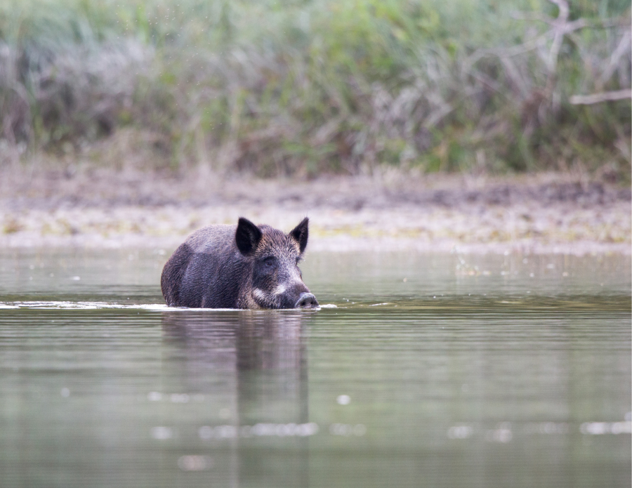
In 2014, IEMM began investigating the dangers posed to wildlife along State Route 67 in order to inform rehabilitation planning for the highway.
We studied SR-67’s existing culvert structures, investigated roadkill, and analyzed bobcat and ringtail movement data to help the California Department of Transportation plan for making SR-67 safer for wildlife. Our findings were used to inform initial safety measures on the highway.
Working closely with a range of stakeholders, IEMM also completed a comprehensive connectivity analysis using existing data on a suite of local species ranging from pumas to wrentits in an expanded area beyond the highway.
Our connectivity modeling has informed prioritization of conservation actions, including a wildlife infrastructure plan for the highway. We also developed a decision support tool based on our data products to guide strategic conservation actions such as land acquisitions, land restorations, and other habitat enhancement activities.
Learn more about this project
![]()
More Ecological Management and Conservation Projects